 vesseltracker.com
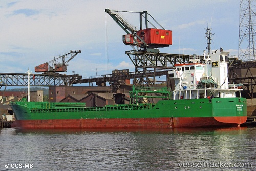
 WALES
WALES
Current Status
Where is the vessel?
WALES is currently in 42 nm NW of Mers El Kebir, based on AIS data received less than 1h ago.
Latest AIS update:
Current position: 36.36632° N, 1.09144° W (42 nm NW of Mers El Kebir)
Average speed (last 7 days): Loading…
Average speed (last 30 days): Loading…
Vessel profile: WALES is a General Cargo with dimensions m x m.
This page combines live AIS, route history, probable destination signals, nearby traffic, and port activity for practical vessel monitoring.
The current position of vessel WALES is 36.36632 lat / -1.09144 lng. Updated: 2026-04-19 17:59:42 UTCNearest reference points:
- 47 nm SE of CARBONERAS
- 45 nm N of Mers El Kebir
- 30 nm N of Mers El Kebir
Currently sailing under the flag of Bahamas ![]()
Details:
Live Vessel WALES Analytics (details, animations, etc.)
Recent AIS points (UTC):
2026-04-19 14:17:33 UTC · 36.30980, -1.68989 · SOG 7.2 kn · COG 85°2026-04-19 15:58:02 UTC · 36.33433, -1.42880 · SOG 8 kn · COG 85°
2026-04-19 16:17:13 UTC · 36.33767, -1.37583 · SOG 7.8 kn · COG 85°
2026-04-19 17:59:42 UTC · 36.36632, -1.09144 · SOG 8.9 kn · COG 85°