 vesseltracker.com
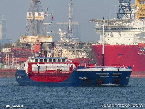
 SNP SKY
Current Status
Where is the vessel?
SNP SKY is currently in Near Salerno, based on AIS data received about 1h ago.
Latest AIS update:
Current position: 40.64704° N, 14.75611° E (Near Salerno)
Average speed (last 7 days): Loading…
Average speed (last 30 days): Loading…
Vessel profile: SNP SKY is a General Cargo with dimensions m x m.
This page combines live AIS, route history, probable destination signals, nearby traffic, and port activity for practical vessel monitoring.
The current position of vessel SNP SKY is 40.64704 lat / 14.75611 lng. Updated: 2026-04-21 22:11:23 UTCNearest reference points:
- Near Salerno
- Near Castellammare di Stabia
- Near TORRE ANNUNZIATA
Currently sailing under the flag of Bahamas ![]()
Details:
Live Vessel SNP SKY Analytics (details, animations, etc.)
Recent AIS points (UTC):
2026-04-21 19:53:20 UTC · 40.64782, 14.75757 · SOG 0.1 kn · COG 295°2026-04-21 20:23:23 UTC · 40.64756, 14.75735 · SOG 0.3 kn · COG 318°
2026-04-21 21:32:22 UTC · 40.64710, 14.75598 · SOG 0 kn · COG 34°
2026-04-21 22:11:23 UTC · 40.64704, 14.75611 · SOG 0.1 kn · COG 26°