 vesseltracker.com
 SA CAPRICORN
Current Status
Where is the vessel?
SA CAPRICORN is currently in Near TANJUNG PELEPAS, based on AIS data received less than 1h ago.
Latest AIS update:
Current position: 1.25568° N, 103.57636° E (Near TANJUNG PELEPAS)
Average speed (last 7 days): Loading…
Average speed (last 30 days): Loading…
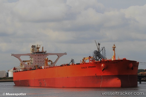
Vessel profile: SA CAPRICORN is a Crude Oil Tanker with dimensions m x m.
This page combines live AIS, route history, probable destination signals, nearby traffic, and port activity for practical vessel monitoring.
The current position of vessel SA CAPRICORN is 1.25568 lat / 103.57636 lng. Updated: 2026-04-20 04:44:03 UTCNearest reference points:
- Near Tuas
- Near Nipah
- Near JURONG ISLAND
Currently sailing under the flag of Bahamas ![]()
Details:
Live Vessel SA CAPRICORN Analytics (details, animations, etc.)
Recent AIS points (UTC):
2026-04-20 01:59:10 UTC · 1.25376, 103.57331 · SOG 0 kn · COG 106°2026-04-20 02:02:00 UTC · 1.25376, 103.57330 · SOG 0 kn · COG 107°
2026-04-20 03:53:01 UTC · 1.25511, 103.57399 · SOG 0 kn · COG 145°
2026-04-20 04:44:03 UTC · 1.25568, 103.57636 · SOG 0 kn · COG 197°