 vesseltracker.com
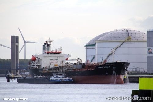
 LISBON
Current Status
Where is the vessel?
LISBON is currently in 155 nm W of LHOKNGA, based on AIS data received about 10h ago.
Latest AIS update:
Current position: 5.99841° N, 92.69714° E (155 nm W of LHOKNGA)
Average speed (last 7 days): Loading…
Average speed (last 30 days): Loading…
Vessel profile: LISBON is a Oil/Chemical Tanker with dimensions m x m.
This page combines live AIS, route history, probable destination signals, nearby traffic, and port activity for practical vessel monitoring.
The current position of vessel LISBON is 5.99841 lat / 92.69714 lng. Updated: 2026-03-28 18:46:17 UTCNearest reference points:
- 160 nm W of Sebang
- 172 nm W of LHOKNGA
- 80 nm W of Sebang
Currently sailing under the flag of Bahamas ![]()
Details:
Live Vessel LISBON Analytics (details, animations, etc.)
Recent AIS points (UTC):
2026-03-28 18:06:15 UTC · 5.99786, 92.85202 · SOG 13.8 kn · COG -1°2026-03-28 18:46:17 UTC · 5.99841, 92.69714 · SOG 13.6 kn · COG -1°
2026-03-28 18:46:17 UTC · 5.99841, 92.69714 · SOG 13.6 kn · COG -1°
2026-03-28 18:46:17 UTC · 5.99841, 92.69714 · SOG 13.6 kn · COG -1°