 vesseltracker.com
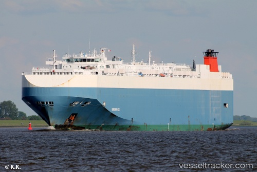
 Serenity Ace
Current Status
Where is the vessel?
Serenity Ace is currently in 50 nm SW of Baco, based on AIS data received about 1h ago.
Latest AIS update:
Current position: 7.65333° N, 83.59833° W (50 nm SW of Baco)
Average speed (last 7 days): Loading…
Average speed (last 30 days): Loading…
Vessel profile: Serenity Ace is a Vehicles Carrier with dimensions 200m x 32m.
This page combines live AIS, route history, probable destination signals, nearby traffic, and port activity for practical vessel monitoring.
The current position of vessel Serenity Ace is 7.65333 lat / -83.59833 lng. Updated: 2026-04-02 23:45:39 UTCNearest reference points:
- Near Chiriquí Grande
- 67 nm SW of Sámara
Currently sailing under the flag of Bahamas ![]()
Serenity Ace built in 2008 year
Deadweight:
21004 tDetails:
Live Vessel Serenity Ace Analytics (details, animations, etc.)
Recent AIS points (UTC):
2026-04-02 17:57:37 UTC · 8.47166, -84.95333 · SOG 15 kn · COG -1°2026-04-02 19:54:40 UTC · 8.17666, -84.50333 · SOG 16 kn · COG -1°
2026-04-02 22:03:42 UTC · 7.85333, -84.01833 · SOG 16 kn · COG -1°
2026-04-02 23:45:39 UTC · 7.65333, -83.59833 · SOG 16 kn · COG -1°