 vesseltracker.com
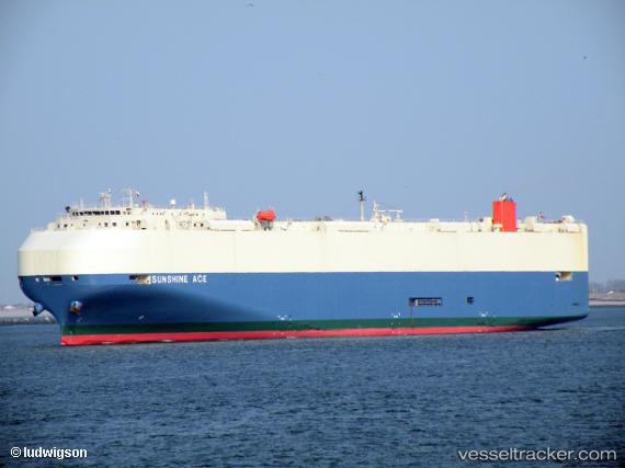
 Sunshine Ace
Current Status
Where is the vessel?
Sunshine Ace is currently in 209 nm W of Baía dos Tigres, based on AIS data received about 1h ago.
Latest AIS update:
Current position: 17.49103° S, 8.20618° E (209 nm W of Baía dos Tigres)
Average speed (last 7 days): Loading…
Average speed (last 30 days): Loading…
Vessel profile: Sunshine Ace is a Vehicles Carrier with dimensions 200m x 32m.
This page combines live AIS, route history, probable destination signals, nearby traffic, and port activity for practical vessel monitoring.
The current position of vessel Sunshine Ace is -17.49103 lat / 8.20618 lng. Updated: 2026-04-08 11:54:38 UTCCurrently sailing under the flag of Bahamas ![]()
Sunshine Ace built in 2009 year
Deadweight:
18858 tDetails:
Live Vessel Sunshine Ace Analytics (details, animations, etc.)
Recent AIS points (UTC):
2026-04-08 05:59:50 UTC · -15.90222, 7.62425 · SOG 17 kn · COG 160°2026-04-08 07:59:31 UTC · -16.43250, 7.82616 · SOG 17 kn · COG 159°
2026-04-08 09:55:50 UTC · -16.95639, 8.01307 · SOG 17.1 kn · COG 159°
2026-04-08 11:54:38 UTC · -17.49103, 8.20618 · SOG 17.3 kn · COG 161°