 vesseltracker.com
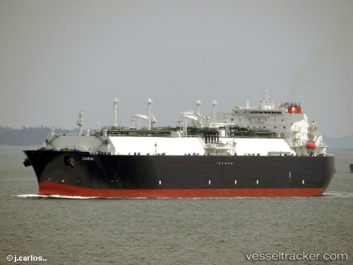
 Cubal
Cubal
Current Status
Where is the vessel?
Cubal is currently in 85 nm W of Koiingnaas, based on AIS data received about 1h ago.
Latest AIS update:
Current position: 29.83303° S, 15.70279° E (85 nm W of Koiingnaas)
Average speed (last 7 days): Loading…
Average speed (last 30 days): Loading…
Vessel profile: Cubal is a Lng Tanker with dimensions 285m x 44m.
This page combines live AIS, route history, probable destination signals, nearby traffic, and port activity for practical vessel monitoring.
The current position of vessel Cubal is -29.83303 lat / 15.70279 lng. Updated: 2026-03-31 06:18:35 UTCNearest reference points:
- 161 nm W of Koiingnaas
- 154 nm W of Koiingnaas
- 167 nm SW of Koiingnaas
Currently sailing under the flag of Bahamas ![]()
Cubal built in 2012 year
Deadweight:
82834 tDetails:
Live Vessel Cubal Analytics (details, animations, etc.)
Recent AIS points (UTC):
2026-03-30 23:50:57 UTC · -28.02578, 14.87703 · SOG 17.6 kn · COG 159°2026-03-31 01:55:07 UTC · -28.60851, 15.09592 · SOG 17.7 kn · COG 155°
2026-03-31 03:27:14 UTC · -29.03083, 15.30344 · SOG 17.9 kn · COG 153°
2026-03-31 06:18:35 UTC · -29.83303, 15.70279 · SOG 18.2 kn · COG 156°