 vesseltracker.com
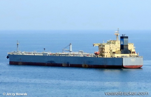
Samos
Current StatusWhere is the vessel?
Samos is currently in Near Colon, based on AIS data received about 10h ago.
Latest AIS update:
Current position: 9.48650° N, 79.95939° W (Near Colon)
Average speed (last 7 days): Loading…
Average speed (last 30 days): Loading…
Vessel profile: Samos is a Crude Oil Tanker with dimensions 42m x 228m.
This page combines live AIS, route history, probable destination signals, nearby traffic, and port activity for practical vessel monitoring.
The current position of vessel Samos is 9.48650 lat / -79.95939 lng. Updated: 2026-04-10 07:44:29 UTCNearest reference points:
- Near Colon
- Near COLON 2000
- Near Colón Free Zone
Details:
Live Vessel Samos Analytics (details, animations, etc.)
Recent AIS points (UTC):
2026-04-10 02:17:28 UTC · 9.48746, -79.96007 · SOG 0 kn · COG 69°2026-04-10 04:17:28 UTC · 9.48719, -79.96001 · SOG 0 kn · COG 59°
2026-04-10 06:26:30 UTC · 9.48694, -79.95988 · SOG 0 kn · COG 53°
2026-04-10 07:44:29 UTC · 9.48650, -79.95939 · SOG 0 kn · COG 36°