 vesseltracker.com
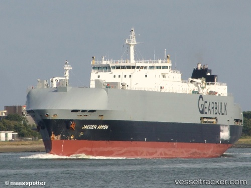
Jaeger Arrow
Current StatusWhere is the vessel?
Jaeger Arrow is currently in Near Aliaga, based on AIS data received less than 1h ago.
Latest AIS update:
Current position: 38.85507° N, 26.90795° E (Near Aliaga)
Average speed (last 7 days): Loading…
Average speed (last 30 days): Loading…
Vessel profile: Jaeger Arrow is a General Cargo Ship with dimensions 25m x 172m.
This page combines live AIS, route history, probable destination signals, nearby traffic, and port activity for practical vessel monitoring.
The current position of vessel Jaeger Arrow is 38.85507 lat / 26.90795 lng. Updated: 2026-03-31 05:40:46 UTCNearest reference points:
- Near Aliaga
- Near Nemrut Bay
- Near NEMRUT
Details:
Live Vessel Jaeger Arrow Analytics (details, animations, etc.)
Recent AIS points (UTC):
2026-03-30 23:37:46 UTC · 38.85580, 26.90892 · SOG 0.1 kn · COG 90°2026-03-31 02:28:45 UTC · 38.85558, 26.90866 · SOG 0.3 kn · COG 90°
2026-03-31 03:28:45 UTC · 38.85544, 26.90853 · SOG 0 kn · COG 39°
2026-03-31 05:40:46 UTC · 38.85507, 26.90795 · SOG 0 kn · COG 44°