 vesseltracker.com
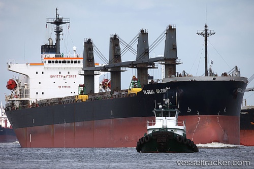
 MICHALAKIS
Current Status
Where is the vessel?
MICHALAKIS is currently in 50 nm NE of Belawan, based on AIS data received about 3h ago.
Latest AIS update:
Current position: 4.41087° N, 99.23697° E (50 nm NE of Belawan)
Average speed (last 7 days): Loading…
Average speed (last 30 days): Loading…
Vessel profile: MICHALAKIS is a Bulk Carrier with dimensions 30m x 186m.
This page combines live AIS, route history, probable destination signals, nearby traffic, and port activity for practical vessel monitoring.
The current position of vessel MICHALAKIS is 4.41087 lat / 99.23697 lng. Updated: 2026-04-10 08:02:08 UTCNearest reference points:
- 43 nm NE of Perbaungan
- 43 nm NE of PANGKALAN SUSU
- 10 nm NE of Belawan
Currently sailing under the flag of Belize ![]()
MICHALAKIS built in 1998 year
Deadweight:
45769 tDetails:
Live Vessel MICHALAKIS Analytics (details, animations, etc.)
Recent AIS points (UTC):
2026-04-10 01:34:05 UTC · 3.56547, 100.18107 · SOG 11.6 kn · COG -1°2026-04-10 04:04:07 UTC · 3.91663, 99.81954 · SOG 12.2 kn · COG -1°
2026-04-10 06:30:58 UTC · 4.22635, 99.45629 · SOG 11.5 kn · COG 320°
2026-04-10 08:02:08 UTC · 4.41087, 99.23697 · SOG 11.1 kn · COG 310°