 vesseltracker.com
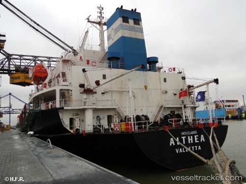
 AMERAY
Current Status
Where is the vessel?
AMERAY is currently in 134 nm NW of Aquiraz, based on AIS data received about 9h ago.
Latest AIS update:
Current position: 2.14833° S, 29.76333° W (134 nm NW of Aquiraz)
Average speed (last 7 days): Loading…
Average speed (last 30 days): Loading…
Vessel profile: AMERAY is a Bulk Carrier with dimensions m x m.
This page combines live AIS, route history, probable destination signals, nearby traffic, and port activity for practical vessel monitoring.
The current position of vessel AMERAY is -2.14833 lat / -29.76333 lng. Updated: 2026-04-02 05:58:01 UTCCurrently sailing under the flag of Belize ![]()
Details:
Live Vessel AMERAY Analytics (details, animations, etc.)
Recent AIS points (UTC):
2026-04-02 04:03:57 UTC · -2.45833, -29.79333 · SOG 9 kn · COG -1°2026-04-02 05:58:01 UTC · -2.14833, -29.76333 · SOG 9 kn · COG -1°
2026-04-02 05:58:01 UTC · -2.14833, -29.76333 · SOG 9 kn · COG -1°
2026-04-02 05:58:01 UTC · -2.14833, -29.76333 · SOG 9 kn · COG -1°