 vesseltracker.com
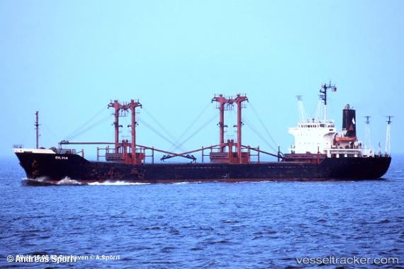
Mohammed Bey
Current StatusWhere is the vessel?
Mohammed Bey is currently in Near Iraklion, based on AIS data received about 10h ago.
Latest AIS update:
Current position: 35.34641° N, 25.14642° E (Near Iraklion)
Average speed (last 7 days): Loading…
Average speed (last 30 days): Loading…
Vessel profile: Mohammed Bey is a General Cargo Ship with dimensions 20m x 119m.
This page combines live AIS, route history, probable destination signals, nearby traffic, and port activity for practical vessel monitoring.
The current position of vessel Mohammed Bey is 35.34641 lat / 25.14642 lng. Updated: 2026-04-21 17:22:40 UTCNearest reference points:
- Near Iraklion
- Near Kali Limenes
- 20 nm S of Astypálaia
Details:
Live Vessel Mohammed Bey Analytics (details, animations, etc.)
Recent AIS points (UTC):
2026-04-21 17:22:40 UTC · 35.34641, 25.14642 · SOG 0 kn · COG -1°2026-04-21 17:22:40 UTC · 35.34641, 25.14642 · SOG 0 kn · COG -1°
2026-04-21 17:22:40 UTC · 35.34641, 25.14642 · SOG 0 kn · COG -1°
2026-04-21 17:22:40 UTC · 35.34641, 25.14642 · SOG 0 kn · COG -1°