 vesseltracker.com
Sunny Link
Current StatusWhere is the vessel?
Sunny Link is currently in Near Tagoloan, based on AIS data received about 1d ago.
Latest AIS update:
Current position: 8.55166° N, 124.73833° E (Near Tagoloan)
Average speed (last 7 days): Loading…
Average speed (last 30 days): Loading…
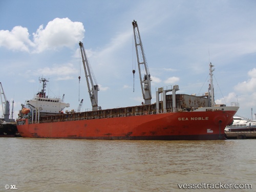
Vessel profile: Sunny Link is a General Cargo Ship with dimensions 20m x 111m.
This page combines live AIS, route history, probable destination signals, nearby traffic, and port activity for practical vessel monitoring.
The current position of vessel Sunny Link is 8.55166 lat / 124.73833 lng. Updated: 2026-04-10 07:43:48 UTCNearest reference points:
- Near Taganito
- Near DICT / SVT
- 17 nm SW of Bacong
Details:
Live Vessel Sunny Link Analytics (details, animations, etc.)
Recent AIS points (UTC):
2026-04-10 01:43:51 UTC · 8.55166, 124.73833 · SOG 0 kn · COG -1°2026-04-10 03:55:46 UTC · 8.55166, 124.73833 · SOG 0 kn · COG -1°
2026-04-10 05:37:51 UTC · 8.55166, 124.73833 · SOG 0 kn · COG -1°
2026-04-10 07:43:48 UTC · 8.55166, 124.73833 · SOG 0 kn · COG -1°