 vesseltracker.com
 CORELIT
Current Status
Where is the vessel?
CORELIT is currently in 21 nm S of Sawakin, based on AIS data received about 9h ago.
Latest AIS update:
Current position: 18.75305° N, 37.22408° E (21 nm S of Sawakin)
Average speed (last 7 days): Loading…
Average speed (last 30 days): Loading…
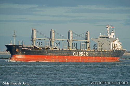
Vessel profile: CORELIT is a Bulk Carrier with dimensions m x m.
This page combines live AIS, route history, probable destination signals, nearby traffic, and port activity for practical vessel monitoring.
The current position of vessel CORELIT is 18.75305 lat / 37.22408 lng. Updated: 2026-04-14 22:22:52 UTCNearest reference points:
- Near Port Sudan
- 53 nm SW of SHUAIBAH
- 99 nm SW of Al Qunfudah
Currently sailing under the flag of Barbados ![]()
Details:
Live Vessel CORELIT Analytics (details, animations, etc.)
Recent AIS points (UTC):
2026-04-14 15:50:52 UTC · 19.61257, 37.22963 · SOG 12.1 kn · COG 357°2026-04-14 19:47:23 UTC · 19.17388, 37.22395 · SOG 9.7 kn · COG 357°
2026-04-14 22:06:13 UTC · 18.79885, 37.22338 · SOG 9.5 kn · COG 357°
2026-04-14 22:22:52 UTC · 18.75305, 37.22408 · SOG 9.6 kn · COG 357°