 vesseltracker.com
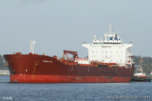
 HSIN OCEAN
Current Status
Where is the vessel?
HSIN OCEAN is currently in 54 nm SW of Bayan Lepas, based on AIS data received about 11h ago.
Latest AIS update:
Current position: 4.84703° N, 99.46385° E (54 nm SW of Bayan Lepas)
Average speed (last 7 days): Loading…
Average speed (last 30 days): Loading…
Vessel profile: HSIN OCEAN is a Oil Products Tanker with dimensions m x m.
This page combines live AIS, route history, probable destination signals, nearby traffic, and port activity for practical vessel monitoring.
The current position of vessel HSIN OCEAN is 4.84703 lat / 99.46385 lng. Updated: 2026-04-22 08:00:17 UTCNearest reference points:
- 43 nm NE of Perbaungan
- 43 nm NE of PANGKALAN SUSU
- Near Batu Maung
Currently sailing under the flag of Barbados ![]()
Details:
Live Vessel HSIN OCEAN Analytics (details, animations, etc.)
Recent AIS points (UTC):
2026-04-22 08:00:17 UTC · 4.84703, 99.46385 · SOG 8.2 kn · COG -1°2026-04-22 08:00:17 UTC · 4.84703, 99.46385 · SOG 8.2 kn · COG -1°
2026-04-22 08:00:17 UTC · 4.84703, 99.46385 · SOG 8.2 kn · COG -1°
2026-04-22 08:00:17 UTC · 4.84703, 99.46385 · SOG 8.2 kn · COG -1°