 vesseltracker.com
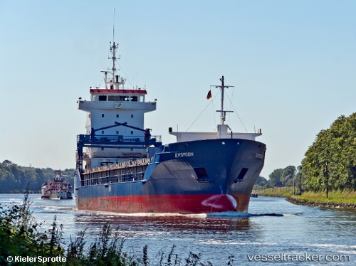
 STOLYA
Current Status
Where is the vessel?
STOLYA is currently in 21 nm W of Ballinskelligs, based on AIS data received less than 1h ago.
Latest AIS update:
Current position: 51.72196° N, 10.84412° W (21 nm W of Ballinskelligs)
Average speed (last 7 days): Loading…
Average speed (last 30 days): Loading…
Vessel profile: STOLYA is a General Cargo with dimensions m x m.
This page combines live AIS, route history, probable destination signals, nearby traffic, and port activity for practical vessel monitoring.
The current position of vessel STOLYA is 51.72196 lat / -10.84412 lng. Updated: 2026-04-15 15:45:14 UTCNearest reference points:
- 20 nm SE of Wunschendorf
- Near CASTLETOWN BEARHAVEN
- Near Skull
Currently sailing under the flag of Barbados ![]()
Details:
Live Vessel STOLYA Analytics (details, animations, etc.)
Recent AIS points (UTC):
2026-04-15 09:35:55 UTC · 50.83072, -10.58250 · SOG 8.9 kn · COG 352°2026-04-15 12:11:54 UTC · 51.21419, -10.69497 · SOG 9 kn · COG 351°
2026-04-15 13:39:25 UTC · 51.42621, -10.75958 · SOG 8.7 kn · COG 347°
2026-04-15 15:45:14 UTC · 51.72196, -10.84412 · SOG 8.4 kn · COG 3°