 vesseltracker.com
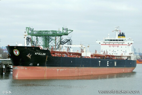
 BRIDGET
Current Status
Where is the vessel?
BRIDGET is currently in 49 nm NE of PENGERANG, based on AIS data received about 1h ago.
Latest AIS update:
Current position: 1.94353° N, 104.70732° E (49 nm NE of PENGERANG)
Average speed (last 7 days): Loading…
Average speed (last 30 days): Loading…
Vessel profile: BRIDGET is a Oil/Chemical Tanker with dimensions m x m.
This page combines live AIS, route history, probable destination signals, nearby traffic, and port activity for practical vessel monitoring.
The current position of vessel BRIDGET is 1.94353 lat / 104.70732 lng. Updated: 2026-04-17 11:52:34 UTCNearest reference points:
- 47 nm NE of PENGERANG
- 52 nm NE of PENGERANG
- 51 nm NE of PENGERANG
Currently sailing under the flag of Barbados ![]()
Details:
Live Vessel BRIDGET Analytics (details, animations, etc.)
Recent AIS points (UTC):
2026-04-17 05:52:50 UTC · 1.94412, 104.70892 · SOG 0 kn · COG -1°2026-04-17 07:31:50 UTC · 1.94423, 104.70848 · SOG 0 kn · COG -1°
2026-04-17 09:28:50 UTC · 1.94400, 104.70777 · SOG 0 kn · COG -1°
2026-04-17 11:52:34 UTC · 1.94353, 104.70732 · SOG 0 kn · COG -1°