 vesseltracker.com
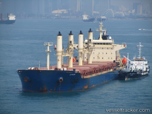
 OCEAN PRETTY
Current Status
Where is the vessel?
OCEAN PRETTY is currently in Near Dibba, based on AIS data received about 2d ago.
Latest AIS update:
Current position: 25.61199° N, 56.41412° E (Near Dibba)
Average speed (last 7 days): Loading…
Average speed (last 30 days): Loading…
Vessel profile: OCEAN PRETTY is a Bulk Carrier with dimensions m x m.
This page combines live AIS, route history, probable destination signals, nearby traffic, and port activity for practical vessel monitoring.
The current position of vessel OCEAN PRETTY is 25.61199 lat / 56.41412 lng. Updated: 2026-04-16 14:20:32 UTCNearest reference points:
- Near KHORFAKKAN
- Near Offshore Fujairah
- Near Fujairah
Currently sailing under the flag of Barbados ![]()
Details:
Live Vessel OCEAN PRETTY Analytics (details, animations, etc.)
Recent AIS points (UTC):
2026-04-07 22:16:22 UTC · 25.46328, 56.74314 · SOG 47 kn · COG 318°2026-04-07 22:16:22 UTC · 25.46328, 56.74314 · SOG 47 kn · COG 318°
2026-04-16 13:55:22 UTC · 25.61199, 56.41412 · SOG 2.5 kn · COG -1°
2026-04-16 14:20:32 UTC · 25.61199, 56.41412 · SOG 2.5 kn · COG -1°