 vesseltracker.com
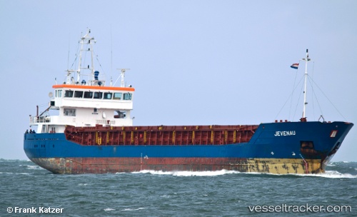
 C.POLARIS
Current Status
Where is the vessel?
C.POLARIS is currently in 52 nm N of Ryuo, based on AIS data received about 3h ago.
Latest AIS update:
Current position: 36.52379° N, 16.83052° E (52 nm N of Ryuo)
Average speed (last 7 days): Loading…
Average speed (last 30 days): Loading…
Vessel profile: C.POLARIS is a General Cargo with dimensions m x m.
This page combines live AIS, route history, probable destination signals, nearby traffic, and port activity for practical vessel monitoring.
The current position of vessel C.POLARIS is 36.52379 lat / 16.83052 lng. Updated: 2026-04-21 16:34:01 UTCNearest reference points:
- 53 nm NE of Ryuo
- 33 nm N of Ryuo
- 64 nm NE of Ryuo
Currently sailing under the flag of Barbados ![]()
Details:
Live Vessel C.POLARIS Analytics (details, animations, etc.)
Recent AIS points (UTC):
2026-04-21 15:33:53 UTC · 36.52322, 16.86467 · SOG 8 kn · COG 271°2026-04-21 16:22:50 UTC · 36.52372, 16.83879 · SOG 7.9 kn · COG 271°
2026-04-21 16:34:01 UTC · 36.52379, 16.83052 · SOG 7.9 kn · COG 271°
2026-04-21 16:34:01 UTC · 36.52379, 16.83052 · SOG 7.9 kn · COG 271°