 vesseltracker.com
 Y L W
Y L W
Current Status
Where is the vessel?
Y L W is currently in 119 nm SE of Chabahar, based on AIS data received less than 1h ago.
Latest AIS update:
Current position: 23.54066° N, 61.67995° E (119 nm SE of Chabahar)
Average speed (last 7 days): Loading…
Average speed (last 30 days): Loading…
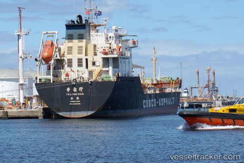
Vessel profile: Y L W is a Crude Oil Tanker with dimensions m x m.
This page combines live AIS, route history, probable destination signals, nearby traffic, and port activity for practical vessel monitoring.
The current position of vessel Y L W is 23.54066 lat / 61.67995 lng. Updated: 2026-04-20 07:57:10 UTCNearest reference points:
- 97 nm S of Chabahar
- 101 nm SE of Chabahar
- 96 nm E of SUR
Currently sailing under the flag of Barbados ![]()
Details:
Live Vessel Y L W Analytics (details, animations, etc.)
Recent AIS points (UTC):
2026-04-20 04:53:11 UTC · 23.57500, 61.18491 · SOG 8.8 kn · COG 88°2026-04-20 05:47:30 UTC · 23.56640, 61.32849 · SOG 8.4 kn · COG 97°
2026-04-20 07:02:30 UTC · 23.54399, 61.52311 · SOG 9.8 kn · COG 85°
2026-04-20 07:57:10 UTC · 23.54066, 61.67995 · SOG 8.6 kn · COG 87°