 vesseltracker.com
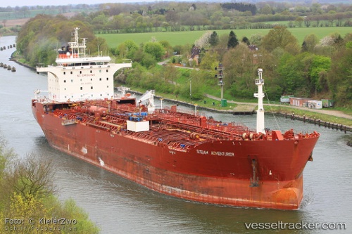
 BAM SANDY
Current Status
Where is the vessel?
BAM SANDY is currently in 16 nm W of HNB SEZ/Mumbai, based on AIS data received less than 1h ago.
Latest AIS update:
Current position: 19.05120° N, 72.55297° E (16 nm W of HNB SEZ/Mumbai)
Average speed (last 7 days): Loading…
Average speed (last 30 days): Loading…
Vessel profile: BAM SANDY is a Oil/Chemical Tanker with dimensions m x m.
This page combines live AIS, route history, probable destination signals, nearby traffic, and port activity for practical vessel monitoring.
The current position of vessel BAM SANDY is 19.05120 lat / 72.55297 lng. Updated: 2026-04-20 21:41:10 UTCNearest reference points:
- Near HNB SEZ/Mumbai
- Near Mumbai
- Near NHAVA SHEVA
Currently sailing under the flag of Barbados ![]()
Details:
Live Vessel BAM SANDY Analytics (details, animations, etc.)
Recent AIS points (UTC):
2026-04-20 18:14:10 UTC · 19.05207, 72.55294 · SOG 0 kn · COG 255°2026-04-20 19:44:10 UTC · 19.05269, 72.55255 · SOG 0 kn · COG 240°
2026-04-20 19:47:10 UTC · 19.05271, 72.55256 · SOG 0 kn · COG 239°
2026-04-20 21:41:10 UTC · 19.05120, 72.55297 · SOG 0.1 kn · COG 286°