 vesseltracker.com
 LADY MARY
Current Status
Where is the vessel?
LADY MARY is currently in 61 nm E of Ilha do Sal, based on AIS data received less than 1h ago.
Latest AIS update:
Current position: 17.02227° N, 21.89501° W (61 nm E of Ilha do Sal)
Average speed (last 7 days): Loading…
Average speed (last 30 days): Loading…
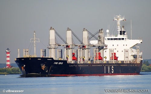
Vessel profile: LADY MARY is a Bulk Carrier with dimensions m x m.
This page combines live AIS, route history, probable destination signals, nearby traffic, and port activity for practical vessel monitoring.
The current position of vessel LADY MARY is 17.02227 lat / -21.89501 lng. Updated: 2026-04-19 17:14:19 UTCNearest reference points:
- Near Ilha do Sal
- 61 nm NW of Ilha do Sal
- 39 nm W of Ilha do Sal
Currently sailing under the flag of Barbados ![]()
Details:
Live Vessel LADY MARY Analytics (details, animations, etc.)
Recent AIS points (UTC):
2026-04-19 13:54:57 UTC · 16.57820, -22.15844 · SOG 9.2 kn · COG 29°2026-04-19 15:35:01 UTC · 16.80270, -22.02194 · SOG 9.2 kn · COG 29°
2026-04-19 16:53:02 UTC · 16.97548, -21.92178 · SOG 9.2 kn · COG 29°
2026-04-19 17:14:19 UTC · 17.02227, -21.89501 · SOG 8.9 kn · COG 29°