 My Armony
Current Status
Where is the vessel?
My Armony is currently in Near Saint-Malo, based on AIS data received about 15h ago.
Latest AIS update:
Current position: 48.64630° N, 2.01720° W (Near Saint-Malo)
Average speed (last 7 days): Loading…
Average speed (last 30 days): Loading…
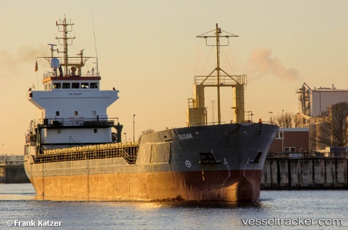
Vessel profile: My Armony is a Multi Purpose Carrier with dimensions 95m x 14m.
This page combines live AIS, route history, probable destination signals, nearby traffic, and port activity for practical vessel monitoring.
The current position of vessel My Armony is 48.64630 lat / -2.01720 lng. Updated: 2026-05-23 22:20:54 UTCNearest reference points:
- Near Saint-Malo
- Near SAINT MALO
- Near SAINT CAST LE GUIDO
Currently sailing under the flag of Barbados ![]()
My Armony built in 1999 year
Deadweight:
5047 tDetails:
Live Vessel My Armony Analytics (details, animations, etc.)
Recent AIS points (UTC):
2026-05-23 19:17:54 UTC · 48.64628, -2.01719 · SOG 0 kn · COG 166°2026-05-23 20:00:37 UTC · 48.64629, -2.01720 · SOG 0 kn · COG 166°
2026-05-23 22:11:54 UTC · 48.64627, -2.01718 · SOG 0 kn · COG 166°
2026-05-23 22:20:54 UTC · 48.64630, -2.01720 · SOG 0 kn · COG 166°