 vesseltracker.com
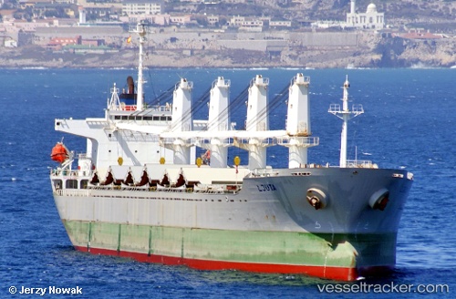
 TRUE BROTHER
Current Status
Where is the vessel?
TRUE BROTHER is currently in 12 nm NW of SILE, based on AIS data received less than 1h ago.
Latest AIS update:
Current position: 41.35917° N, 29.49117° E (12 nm NW of SILE)
Average speed (last 7 days): Loading…
Average speed (last 30 days): Loading…
Vessel profile: TRUE BROTHER is a Bulk Carrier with dimensions 29m x 177m.
This page combines live AIS, route history, probable destination signals, nearby traffic, and port activity for practical vessel monitoring.
The current position of vessel TRUE BROTHER is 41.35917 lat / 29.49117 lng. Updated: 2026-04-12 14:25:34 UTCNearest reference points:
- 19 nm NE of RUMELI FENERI
- Near RUMELI FENERI
- Near Kavacik
Currently sailing under the flag of Barbados ![]()
TRUE BROTHER built in 2001 year
Deadweight:
31812 tDetails:
Live Vessel TRUE BROTHER Analytics (details, animations, etc.)
Recent AIS points (UTC):
2026-04-12 09:23:24 UTC · 40.80950, 28.86733 · SOG 10.4 kn · COG 354°2026-04-12 10:14:05 UTC · 40.92117, 28.96883 · SOG 9.5 kn · COG 29°
2026-04-12 12:04:25 UTC · 41.13833, 29.06733 · SOG 9.4 kn · COG 327°
2026-04-12 14:25:34 UTC · 41.35917, 29.49117 · SOG 10.8 kn · COG 64°