 vesseltracker.com
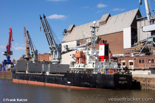
 LEADER M
Current Status
Where is the vessel?
LEADER M is currently in Near Al Jubayl, based on AIS data received about 2h ago.
Latest AIS update:
Current position: 27.02683° N, 49.69039° E (Near Al Jubayl)
Average speed (last 7 days): Loading…
Average speed (last 30 days): Loading…
Vessel profile: LEADER M is a Bulk Carrier with dimensions m x m.
This page combines live AIS, route history, probable destination signals, nearby traffic, and port activity for practical vessel monitoring.
The current position of vessel LEADER M is 27.02683 lat / 49.69039 lng. Updated: 2026-04-01 17:23:06 UTCNearest reference points:
- Near Al Jubayl
- 13 nm NE of AL JUBAIL
- Near Al Jubayl Industrial City
Currently sailing under the flag of Barbados ![]()
LEADER M built in 2000 year
Deadweight:
12235 tDetails:
Live Vessel LEADER M Analytics (details, animations, etc.)
Recent AIS points (UTC):
2026-04-01 11:34:47 UTC · 27.02686, 49.69032 · SOG 0 kn · COG 40°2026-04-01 13:35:46 UTC · 27.02683, 49.69034 · SOG 0 kn · COG 40°
2026-04-01 15:54:07 UTC · 27.02682, 49.69032 · SOG 0 kn · COG -1°
2026-04-01 17:23:06 UTC · 27.02683, 49.69039 · SOG 0 kn · COG 40°