 vesseltracker.com
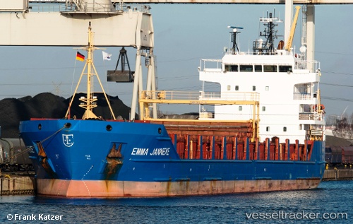
 BESTEKAR
Current Status
Where is the vessel?
BESTEKAR is currently in Near Jebel Ali Free Zone, based on AIS data received less than 1h ago.
Latest AIS update:
Current position: 24.98683° N, 55.07242° E (Near Jebel Ali Free Zone)
Average speed (last 7 days): Loading…
Average speed (last 30 days): Loading…
Vessel profile: BESTEKAR is a General Cargo with dimensions m x m.
This page combines live AIS, route history, probable destination signals, nearby traffic, and port activity for practical vessel monitoring.
The current position of vessel BESTEKAR is 24.98683 lat / 55.07242 lng. Updated: 2026-04-18 15:57:28 UTCNearest reference points:
- Near Jebel Ali Free Zone
- Near Jebel Ali
- Near DUBAI MARINA
Currently sailing under the flag of Barbados ![]()
Details:
Live Vessel BESTEKAR Analytics (details, animations, etc.)
Recent AIS points (UTC):
2026-04-18 10:06:26 UTC · 24.98686, 55.07239 · SOG 0 kn · COG 228°2026-04-18 12:12:25 UTC · 24.98686, 55.07241 · SOG 0 kn · COG 227°
2026-04-18 13:33:27 UTC · 24.98683, 55.07238 · SOG 0 kn · COG 227°
2026-04-18 15:57:28 UTC · 24.98683, 55.07242 · SOG 0 kn · COG 228°