 vesseltracker.com
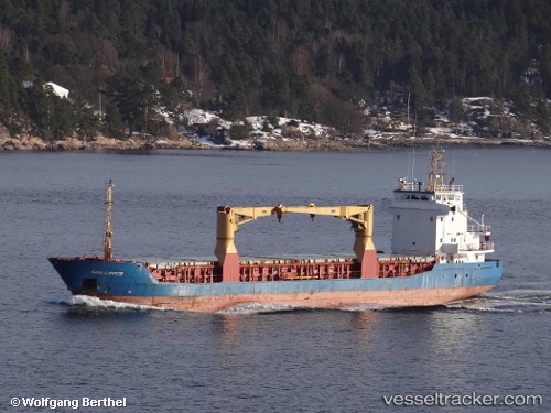
 SANTA BARBARA
Current Status
Where is the vessel?
SANTA BARBARA is currently in 17 nm SW of Oranjestad, based on AIS data received less than 1h ago.
Latest AIS update:
Current position: 12.31614° N, 70.25518° W (17 nm SW of Oranjestad)
Average speed (last 7 days): Loading…
Average speed (last 30 days): Loading…
Vessel profile: SANTA BARBARA is a General Cargo with dimensions m x m.
This page combines live AIS, route history, probable destination signals, nearby traffic, and port activity for practical vessel monitoring.
The current position of vessel SANTA BARBARA is 12.31614 lat / -70.25518 lng. Updated: 2026-04-16 01:41:30 UTCNearest reference points:
- 24 nm NW of Palm Beach
- Near Las Piedras
- Near Bullenbaai
Currently sailing under the flag of Barbados ![]()
Details:
Live Vessel SANTA BARBARA Analytics (details, animations, etc.)
Recent AIS points (UTC):
2026-04-15 19:25:11 UTC · 12.47658, -71.20459 · SOG 9.7 kn · COG 95°2026-04-15 20:34:41 UTC · 12.46098, -71.01836 · SOG 9.4 kn · COG 99°
2026-04-15 23:53:50 UTC · 12.37086, -70.51990 · SOG 8.7 kn · COG 102°
2026-04-16 01:41:30 UTC · 12.31614, -70.25518 · SOG 8.6 kn · COG 101°