 vesseltracker.com
 ATA OCEAN
Current Status
Where is the vessel?
ATA OCEAN is currently in 15 nm NW of RUMELI FENERI, based on AIS data received less than 1h ago.
Latest AIS update:
Current position: 41.45501° N, 28.97379° E (15 nm NW of RUMELI FENERI)
Average speed (last 7 days): Loading…
Average speed (last 30 days): Loading…
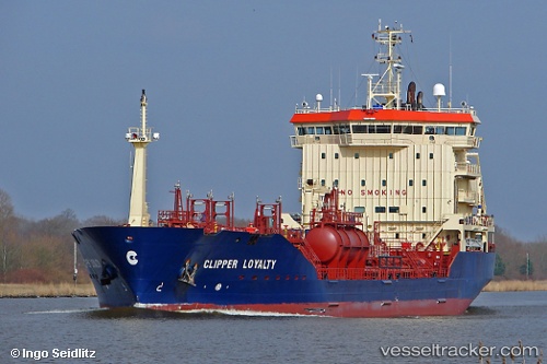
Vessel profile: ATA OCEAN is a Oil/Chemical Tanker with dimensions m x m.
This page combines live AIS, route history, probable destination signals, nearby traffic, and port activity for practical vessel monitoring.
The current position of vessel ATA OCEAN is 41.45501 lat / 28.97379 lng. Updated: 2026-04-12 19:29:48 UTCNearest reference points:
- Near RUMELI FENERI
- 18 nm N of Istanbul New Airport
- Near Istinye/Istambul
Currently sailing under the flag of Barbados ![]()
Details:
Live Vessel ATA OCEAN Analytics (details, animations, etc.)
Recent AIS points (UTC):
2026-04-12 14:25:32 UTC · 41.41717, 29.01793 · SOG 0.5 kn · COG 347°2026-04-12 16:26:01 UTC · 41.44434, 28.98068 · SOG 0.2 kn · COG 44°
2026-04-12 17:51:57 UTC · 41.44829, 28.97472 · SOG 0.3 kn · COG 86°
2026-04-12 19:29:48 UTC · 41.45501, 28.97379 · SOG 0.1 kn · COG 66°