 vesseltracker.com
 DALI
DALI
Current Status
Where is the vessel?
DALI is currently in Near Ruch’I, based on AIS data received less than 1h ago.
Latest AIS update:
Current position: 59.76751° N, 28.43447° E (Near Ruch’I)
Average speed (last 7 days): Loading…
Average speed (last 30 days): Loading…
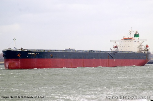
Vessel profile: DALI is a Bulk Carrier with dimensions m x m.
This page combines live AIS, route history, probable destination signals, nearby traffic, and port activity for practical vessel monitoring.
The current position of vessel DALI is 59.76751 lat / 28.43447 lng. Updated: 2026-04-18 08:03:13 UTCNearest reference points:
- Near Ruch’I
- Near VISTINO
- Near Ust-Luga
Currently sailing under the flag of Barbados ![]()
Details:
Live Vessel DALI Analytics (details, animations, etc.)
Recent AIS points (UTC):
2026-04-17 18:09:20 UTC · 59.76739, 28.43468 · SOG 0.2 kn · COG 4°2026-04-17 18:09:20 UTC · 59.76739, 28.43468 · SOG 0.2 kn · COG 4°
2026-04-18 06:12:11 UTC · 59.76744, 28.43438 · SOG 0 kn · COG 3°
2026-04-18 08:03:13 UTC · 59.76751, 28.43447 · SOG 0 kn · COG 4°