 vesseltracker.com
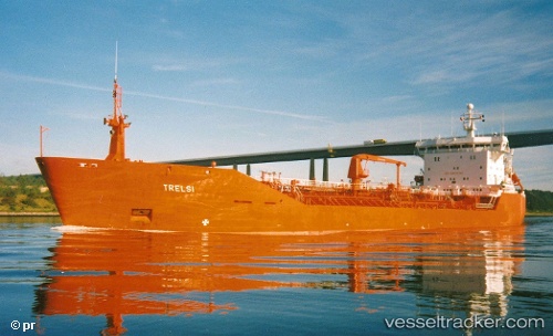
 Manitoulin
Current Status
Where is the vessel?
Manitoulin is currently in 12 nm NE of Brussels, based on AIS data received about 2h ago.
Latest AIS update:
Current position: 44.84118° N, 87.38350° W (12 nm NE of Brussels)
Average speed (last 7 days): Loading…
Average speed (last 30 days): Loading…
Vessel profile: Manitoulin is a Self Discharging Bulk Carrier with dimensions 203m x 24m.
This page combines live AIS, route history, probable destination signals, nearby traffic, and port activity for practical vessel monitoring.
The current position of vessel Manitoulin is 44.84118 lat / -87.38350 lng. Updated: 2026-03-27 03:31:33 UTCNearest reference points:
- 12 nm NE of Brussels
- Near Pentwater
- Near MILWAUKEE
Currently sailing under the flag of Canada ![]()
Manitoulin built in 1991 year
Deadweight:
14986 tDetails:
Live Vessel Manitoulin Analytics (details, animations, etc.)
Recent AIS points (UTC):
2026-03-26 22:10:28 UTC · 44.84118, -87.38350 · SOG 0 kn · COG 257°2026-03-26 23:37:29 UTC · 44.84118, -87.38350 · SOG 0 kn · COG 257°
2026-03-27 02:10:29 UTC · 44.84117, -87.38350 · SOG 0 kn · COG 257°
2026-03-27 03:31:33 UTC · 44.84118, -87.38350 · SOG 0 kn · COG 257°