 vesseltracker.com
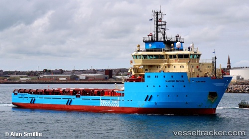
Maersk Nexus
Current StatusWhere is the vessel?
Maersk Nexus is currently in 28 nm SW of White Rose Field, based on AIS data received about 1d ago.
Latest AIS update:
Current position: 46.47921° N, 48.52504° W (28 nm SW of White Rose Field)
Average speed (last 7 days): Loading…
Average speed (last 30 days): Loading…
Vessel profile: Maersk Nexus is a Offshore Support Vessel with dimensions 18m x 90m.
This page combines live AIS, route history, probable destination signals, nearby traffic, and port activity for practical vessel monitoring.
The current position of vessel Maersk Nexus is 46.47921 lat / -48.52504 lng. Updated: 2026-04-10 07:17:38 UTCNearest reference points:
- 24 nm SW of White Rose Field
- 165 nm S of White Rose Field
Details:
Live Vessel Maersk Nexus Analytics (details, animations, etc.)
Recent AIS points (UTC):
2026-04-10 01:59:57 UTC · 46.47866, -48.47711 · SOG 3.4 kn · COG 29°2026-04-10 03:25:50 UTC · 46.46833, -48.50333 · SOG 3 kn · COG -1°
2026-04-10 05:57:12 UTC · 46.48070, -48.52186 · SOG 0 kn · COG 326°
2026-04-10 07:17:38 UTC · 46.47921, -48.52504 · SOG 0.1 kn · COG 325°