 vesseltracker.com
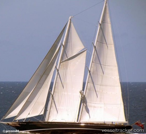
Marie
Current StatusWhere is the vessel?
Marie is currently in Near Camden Park, based on AIS data received about 1h ago.
Latest AIS update:
Current position: 13.26452° N, 61.26051° W (Near Camden Park)
Average speed (last 7 days): Loading…
Average speed (last 30 days): Loading…
Vessel profile: Marie is a Service Ship with dimensions 11m x 56m.
This page combines live AIS, route history, probable destination signals, nearby traffic, and port activity for practical vessel monitoring.
The current position of vessel Marie is 13.26452 lat / -61.26051 lng. Updated: 2026-04-03 09:23:38 UTCNearest reference points:
- Near Kingstown
- Near Gros Islet
- 16 nm SW of Carriacou Apt
Details:
Live Vessel Marie Analytics (details, animations, etc.)
Recent AIS points (UTC):
2026-04-03 02:35:40 UTC · 13.26460, -61.26055 · SOG 0 kn · COG 298°2026-04-03 02:35:40 UTC · 13.26460, -61.26055 · SOG 0 kn · COG 298°
2026-04-03 06:39:01 UTC · 13.26458, -61.26049 · SOG 0 kn · COG -1°
2026-04-03 09:23:38 UTC · 13.26452, -61.26051 · SOG 0 kn · COG 298°