 vesseltracker.com
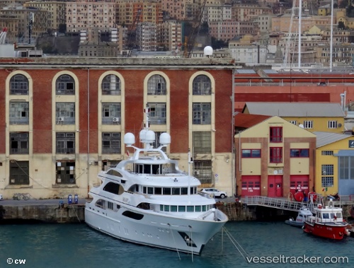
Galaxy
Current StatusWhere is the vessel?
Galaxy is currently in 372 nm SW of Girard, based on AIS data received less than 1h ago.
Latest AIS update:
Current position: 29.32167° N, 48.46500° W (372 nm SW of Girard)
Average speed (last 7 days): Loading…
Average speed (last 30 days): Loading…
Vessel profile: Galaxy is a Service Ship with dimensions 10m x 56m.
This page combines live AIS, route history, probable destination signals, nearby traffic, and port activity for practical vessel monitoring.
The current position of vessel Galaxy is 29.32167 lat / -48.46500 lng. Updated: 2026-04-22 07:28:19 UTCNearest reference points:
- Open sea, approx. 403 nm off the nearest listed port
- Open sea, approx. 406 nm off the nearest listed port
- Open sea, approx. 407 nm off the nearest listed port
Details:
Live Vessel Galaxy Analytics (details, animations, etc.)
Recent AIS points (UTC):
2026-04-22 03:40:19 UTC · 29.49833, -49.38667 · SOG 13 kn · COG -1°2026-04-22 04:41:45 UTC · 29.45098, -49.13941 · SOG 13.8 kn · COG 102°
2026-04-22 05:40:18 UTC · 29.40333, -48.89833 · SOG 13 kn · COG -1°
2026-04-22 07:28:19 UTC · 29.32167, -48.46500 · SOG 12 kn · COG -1°