 vesseltracker.com
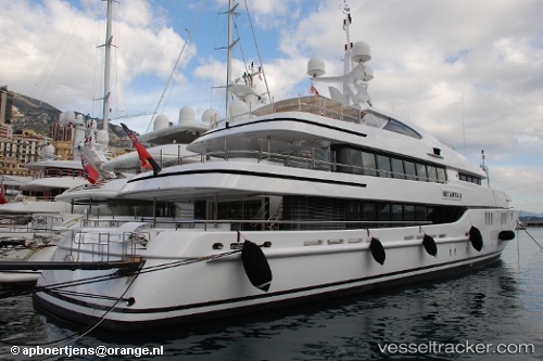
 Netanya 8
Current Status
Where is the vessel?
Netanya 8 is currently in Near Savannah, based on AIS data received about 1h ago.
Latest AIS update:
Current position: 32.09592° N, 81.11316° W (Near Savannah)
Average speed (last 7 days): Loading…
Average speed (last 30 days): Loading…
Vessel profile: Netanya 8 is a Service Ship with dimensions 58m x 10m.
This page combines live AIS, route history, probable destination signals, nearby traffic, and port activity for practical vessel monitoring.
The current position of vessel Netanya 8 is 32.09592 lat / -81.11316 lng. Updated: 2026-04-16 11:26:08 UTCNearest reference points:
- Near Saint Andrews
- Near Brunswick
- 33 nm S of Kiawah Island
Currently sailing under the flag of Cayman Is ![]()
Netanya 8 built in 2007 year
Deadweight:
130 tDetails:
Live Vessel Netanya 8 Analytics (details, animations, etc.)
Recent AIS points (UTC):
2026-04-16 06:01:36 UTC · 32.09595, -81.11311 · SOG 0 kn · COG -1°2026-04-16 08:02:10 UTC · 32.09595, -81.11313 · SOG 0 kn · COG -1°
2026-04-16 10:18:28 UTC · 32.09597, -81.11314 · SOG 0 kn · COG -1°
2026-04-16 11:26:08 UTC · 32.09592, -81.11316 · SOG 0 kn · COG -1°