 vesseltracker.com
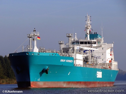
 ALKAID
Current Status
Where is the vessel?
ALKAID is currently in Near Bnei Darom, based on AIS data received less than 1h ago.
Latest AIS update:
Current position: 31.87258° N, 31.64045° E (Near Bnei Darom)
Average speed (last 7 days): Loading…
Average speed (last 30 days): Loading…
Vessel profile: ALKAID is a Lpg Tanker with dimensions m x m.
This page combines live AIS, route history, probable destination signals, nearby traffic, and port activity for practical vessel monitoring.
The current position of vessel ALKAID is 31.87258 lat / 31.64045 lng. Updated: 2026-04-19 10:19:03 UTCNearest reference points:
- Near Damietta
- 21 nm N of Port Said
- 15 nm N of Port Said
Currently sailing under the flag of Cayman Islands ![]()
Details:
Live Vessel ALKAID Analytics (details, animations, etc.)
Recent AIS points (UTC):
2026-04-19 05:55:44 UTC · 31.87255, 31.64037 · SOG 0 kn · COG 296°2026-04-19 07:22:41 UTC · 31.87254, 31.64042 · SOG 0.1 kn · COG 293°
2026-04-19 09:47:36 UTC · 31.87253, 31.64045 · SOG 0.3 kn · COG -1°
2026-04-19 10:19:03 UTC · 31.87258, 31.64045 · SOG 0.3 kn · COG -1°