 vesseltracker.com
 MANDO ONE
Current Status
Where is the vessel?
MANDO ONE is currently in 16 nm NW of Free Port, based on AIS data received about 402d ago.
Latest AIS update:
Current position: 25.40973° N, 55.02500° E (16 nm NW of Free Port)
Average speed (last 7 days): Loading…
Average speed (last 30 days): Loading…
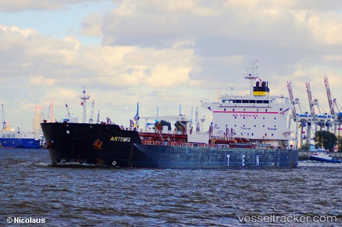
Vessel profile: MANDO ONE is a Chemical Oil Products Tanker with dimensions 186m x 32m.
This page combines live AIS, route history, probable destination signals, nearby traffic, and port activity for practical vessel monitoring.
The current position of vessel MANDO ONE is 25.40973 lat / 55.02500 lng. Updated: 2025-03-12 09:46:42 UTCNearest reference points:
- 17 nm NW of Free Port
- Near Free Port
- Near DUBAI
Currently sailing under the flag of Honduras ![]()
Details:
Live Vessel MANDO ONE Analytics (details, animations, etc.)
Recent AIS points (UTC):
2025-03-12 09:46:42 UTC · 25.40973, 55.02500 · SOG 0 kn · COG 196°