 vesseltracker.com
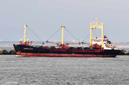
 ARWA
ARWA
Current Status
Where is the vessel?
ARWA is currently in 25 nm SW of Bandare Parsian, based on AIS data received less than 1h ago.
Latest AIS update:
Current position: 26.92736° N, 52.51113° E (25 nm SW of Bandare Parsian)
Average speed (last 7 days): Loading…
Average speed (last 30 days): Loading…
Vessel profile: ARWA is a General Cargo with dimensions m x m.
This page combines live AIS, route history, probable destination signals, nearby traffic, and port activity for practical vessel monitoring.
The current position of vessel ARWA is 26.92736 lat / 52.51113 lng. Updated: 2026-04-18 20:16:28 UTCNearest reference points:
- Near ASALUYEH
- Near Jazireh-Ye Lavan
- Near Sarooj Anchorage
Currently sailing under the flag of Honduras ![]()
Details:
Live Vessel ARWA Analytics (details, animations, etc.)
Recent AIS points (UTC):
2026-04-18 13:37:43 UTC · 26.62056, 53.04076 · SOG 5.1 kn · COG -1°2026-04-18 15:59:58 UTC · 26.73453, 52.84992 · SOG 0 kn · COG -1°
2026-04-18 17:37:37 UTC · 26.80275, 52.72349 · SOG 0 kn · COG -1°
2026-04-18 20:16:28 UTC · 26.92736, 52.51113 · SOG 0 kn · COG -1°