 vesseltracker.com
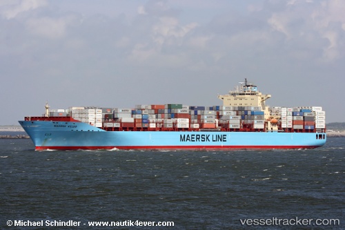
 Maersk Hartford
Current Status
Where is the vessel?
Maersk Hartford is currently in 45 nm W of Cape Of Good Hope, based on AIS data received less than 1h ago.
Latest AIS update:
Current position: 34.60021° S, 17.52628° E (45 nm W of Cape Of Good Hope)
Average speed (last 7 days): Loading…
Average speed (last 30 days): Loading…
Vessel profile: Maersk Hartford is a Container Ship with dimensions 300m x 299m.
This page combines live AIS, route history, probable destination signals, nearby traffic, and port activity for practical vessel monitoring.
The current position of vessel Maersk Hartford is -34.60021 lat / 17.52628 lng. Updated: 2026-04-04 05:29:05 UTCNearest reference points:
- 18 nm SW of Cape Of Good Hope
- 12 nm W of ROBBEN ISLAND
- Near HOUT BAY
Currently sailing under the flag of USA ![]()
Maersk Hartford built in 2007 year
Deadweight:
84783 tDetails:
Live Vessel Maersk Hartford Analytics (details, animations, etc.)
Recent AIS points (UTC):
2026-04-03 23:51:26 UTC · -33.41308, 16.02127 · SOG 19.6 kn · COG 153°2026-04-04 01:29:37 UTC · -33.89450, 16.28006 · SOG 19.2 kn · COG 156°
2026-04-04 03:02:33 UTC · -34.19791, 16.73756 · SOG 19.2 kn · COG 124°
2026-04-04 05:29:05 UTC · -34.60021, 17.52628 · SOG 19.3 kn · COG 120°