 vesseltracker.com
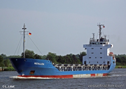
 RAYES
RAYES
Current Status
Where is the vessel?
RAYES is currently in Near Iskenderun, based on AIS data received about 1h ago.
Latest AIS update:
Current position: 36.60318° N, 36.15438° E (Near Iskenderun)
Average speed (last 7 days): Loading…
Average speed (last 30 days): Loading…
Vessel profile: RAYES is a General Cargo with dimensions m x m.
This page combines live AIS, route history, probable destination signals, nearby traffic, and port activity for practical vessel monitoring.
The current position of vessel RAYES is 36.60318 lat / 36.15438 lng. Updated: 2026-04-15 23:27:38 UTCNearest reference points:
- Near Iskenderun
- Near DORTYOL
- 13 nm W of Iskenderun
Currently sailing under the flag of Saint Kitts and Nevis ![]()
Details:
Live Vessel RAYES Analytics (details, animations, etc.)
Recent AIS points (UTC):
2026-04-15 17:30:40 UTC · 36.60365, 36.15365 · SOG 0.3 kn · COG 82°2026-04-15 20:18:39 UTC · 36.60335, 36.15357 · SOG 0.1 kn · COG 66°
2026-04-15 21:42:39 UTC · 36.60502, 36.15417 · SOG 0.2 kn · COG 144°
2026-04-15 23:27:38 UTC · 36.60318, 36.15438 · SOG 0.2 kn · COG 26°