 vesseltracker.com
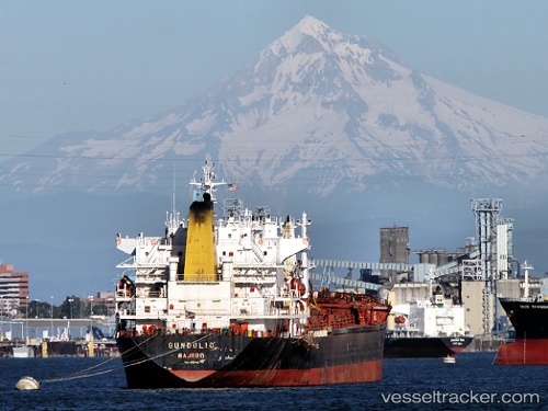
 JASMINE II
Current Status
Where is the vessel?
JASMINE II is currently in Near INEBOLU, based on AIS data received about 62d ago.
Latest AIS update:
Current position: 42.07953° N, 33.80399° E (Near INEBOLU)
Average speed (last 7 days): Loading…
Average speed (last 30 days): Loading…
Vessel profile: JASMINE II is a Bulk Carrier with dimensions 31m x 190m.
This page combines live AIS, route history, probable destination signals, nearby traffic, and port activity for practical vessel monitoring.
The current position of vessel JASMINE II is 42.07953 lat / 33.80399 lng. Updated: 2026-02-04 07:01:20 UTCNearest reference points:
- 18 nm NW of INEBOLU
- 27 nm NW of INEBOLU
- Near Cide
Currently sailing under the flag of St.Kitts and Nevis ![]()
JASMINE II built in 1997 year
Deadweight:
45269 tDetails:
Live Vessel JASMINE II Analytics (details, animations, etc.)
Recent AIS points (UTC):
2026-02-04 07:01:20 UTC · 42.07953, 33.80399 · SOG 8.5 kn · COG 272°