 vesseltracker.com
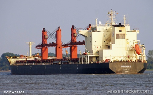
 MAKO I
Current Status
Where is the vessel?
MAKO I is currently in 162 nm E of Manapakkam, based on AIS data received about 2h ago.
Latest AIS update:
Current position: 12.10833° N, 82.88333° E (162 nm E of Manapakkam)
Average speed (last 7 days): Loading…
Average speed (last 30 days): Loading…
Vessel profile: MAKO I is a Bulk Carrier with dimensions m x m.
This page combines live AIS, route history, probable destination signals, nearby traffic, and port activity for practical vessel monitoring.
The current position of vessel MAKO I is 12.10833 lat / 82.88333 lng. Updated: 2026-04-18 08:13:02 UTCNearest reference points:
- 80 nm E of Nandiambakkam
- Near Madras
- 17 nm NE of Nandiambakkam
Currently sailing under the flag of Saint Kitts and Nevis ![]()
Details:
Live Vessel MAKO I Analytics (details, animations, etc.)
Recent AIS points (UTC):
2026-04-18 02:31:58 UTC · 11.00333, 82.74166 · SOG 11 kn · COG -1°2026-04-18 06:15:15 UTC · 11.72166, 82.83667 · SOG 11 kn · COG -1°
2026-04-18 08:13:02 UTC · 12.10833, 82.88333 · SOG 12 kn · COG -1°
2026-04-18 08:13:02 UTC · 12.10833, 82.88333 · SOG 12 kn · COG -1°