 vesseltracker.com
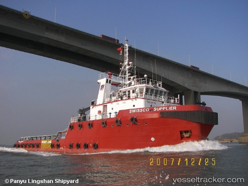
 OCEAN HURRICANE
Current Status
Where is the vessel?
OCEAN HURRICANE is currently in Near Abu Dhabi, based on AIS data received less than 1h ago.
Latest AIS update:
Current position: 24.38170° N, 54.35424° E (Near Abu Dhabi)
Average speed (last 7 days): Loading…
Average speed (last 30 days): Loading…
Vessel profile: OCEAN HURRICANE is a Tug with dimensions m x m.
This page combines live AIS, route history, probable destination signals, nearby traffic, and port activity for practical vessel monitoring.
The current position of vessel OCEAN HURRICANE is 24.38170 lat / 54.35424 lng. Updated: 2026-04-16 21:21:59 UTCNearest reference points:
- Near Esnnad
- Near KHALIFA
- 16 nm NW of Jebel Ali
Currently sailing under the flag of Saint Kitts and Nevis ![]()
Details:
Live Vessel OCEAN HURRICANE Analytics (details, animations, etc.)
Recent AIS points (UTC):
2026-04-16 13:58:57 UTC · 24.68663, 53.80458 · SOG 4.9 kn · COG -1°2026-04-16 15:47:52 UTC · 24.68605, 53.94844 · SOG 4.3 kn · COG -1°
2026-04-16 20:21:50 UTC · 24.45033, 54.23345 · SOG 6.7 kn · COG -1°
2026-04-16 21:21:59 UTC · 24.38170, 54.35424 · SOG 7.5 kn · COG -1°