 vesseltracker.com
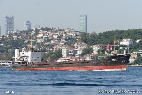
 ONUR
ONUR
Current Status
Where is the vessel?
ONUR is currently in 15 nm SW of Taganrog, based on AIS data received about 2d ago.
Latest AIS update:
Current position: 47.02966° N, 38.67856° E (15 nm SW of Taganrog)
Average speed (last 7 days): Loading…
Average speed (last 30 days): Loading…
Vessel profile: ONUR is a General Cargo with dimensions m x m.
This page combines live AIS, route history, probable destination signals, nearby traffic, and port activity for practical vessel monitoring.
The current position of vessel ONUR is 47.02966 lat / 38.67856 lng. Updated: 2026-03-27 09:38:56 UTCNearest reference points:
- 18 nm SW of Taganrog
- 19 nm SW of Taganrog
- 21 nm SW of Taganrog
Currently sailing under the flag of Saint Kitts and Nevis ![]()
Details:
Live Vessel ONUR Analytics (details, animations, etc.)
Recent AIS points (UTC):
2026-03-27 07:33:26 UTC · 47.00473, 38.31486 · SOG 6.5 kn · COG 90°2026-03-27 09:26:56 UTC · 47.01496, 38.65068 · SOG 6.6 kn · COG 51°
2026-03-27 09:38:56 UTC · 47.02966, 38.67856 · SOG 7 kn · COG 53°
2026-03-27 09:38:56 UTC · 47.02966, 38.67856 · SOG 7 kn · COG 53°