 vesseltracker.com
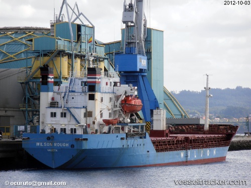
 DANIA
DANIA
Current Status
Where is the vessel?
DANIA is currently in Near AL ARISH, based on AIS data received about 1d ago.
Latest AIS update:
Current position: 31.21031° N, 33.81992° E (Near AL ARISH)
Average speed (last 7 days): Loading…
Average speed (last 30 days): Loading…
Vessel profile: DANIA is a Bulk Carrier with dimensions m x m.
This page combines live AIS, route history, probable destination signals, nearby traffic, and port activity for practical vessel monitoring.
The current position of vessel DANIA is 31.21031 lat / 33.81992 lng. Updated: 2026-04-10 01:14:41 UTCNearest reference points:
- Near AL ARISH
- 17 nm E of Atakka Dry Port
- 24 nm SW of Atakka Dry Port
Currently sailing under the flag of Saint Kitts and Nevis ![]()
Details:
Live Vessel DANIA Analytics (details, animations, etc.)
Recent AIS points (UTC):
2026-04-09 05:20:45 UTC · 31.21031, 33.81999 · SOG 0 kn · COG 277°2026-04-10 01:14:41 UTC · 31.21031, 33.81992 · SOG 0.2 kn · COG 234°
2026-04-10 01:14:41 UTC · 31.21031, 33.81992 · SOG 0.2 kn · COG 234°
2026-04-10 01:14:41 UTC · 31.21031, 33.81992 · SOG 0.2 kn · COG 234°