 vesseltracker.com
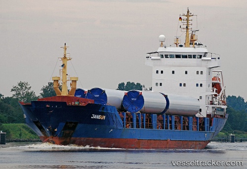
 HAYA
HAYA
Current Status
Where is the vessel?
HAYA is currently in Near DJEN DJEN, based on AIS data received about 1h ago.
Latest AIS update:
Current position: 36.82746° N, 5.83999° E (Near DJEN DJEN)
Average speed (last 7 days): Loading…
Average speed (last 30 days): Loading…
Vessel profile: HAYA is a General Cargo with dimensions m x m.
This page combines live AIS, route history, probable destination signals, nearby traffic, and port activity for practical vessel monitoring.
The current position of vessel HAYA is 36.82746 lat / 5.83999 lng. Updated: 2026-04-10 02:23:16 UTCNearest reference points:
- Near Carmona
- Near Bejaia
- Near Skikid
Currently sailing under the flag of Saint Kitts and Nevis ![]()
Details:
Live Vessel HAYA Analytics (details, animations, etc.)
Recent AIS points (UTC):
2026-04-09 19:59:00 UTC · 36.82691, 5.84012 · SOG 0 kn · COG 278°2026-04-09 21:59:56 UTC · 36.82669, 5.84004 · SOG 0 kn · COG -1°
2026-04-10 00:13:54 UTC · 36.82658, 5.83986 · SOG 0 kn · COG -1°
2026-04-10 02:23:16 UTC · 36.82746, 5.83999 · SOG 0 kn · COG -1°