 vesseltracker.com
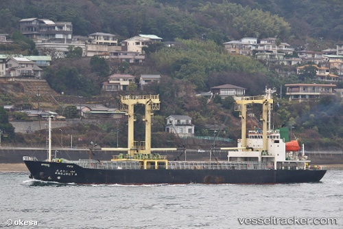
 NEREUS PROGRESS
Current Status
Where is the vessel?
NEREUS PROGRESS is currently in Near Tuticorin, based on AIS data received about 9h ago.
Latest AIS update:
Current position: 8.74330° N, 78.26942° E (Near Tuticorin)
Average speed (last 7 days): Loading…
Average speed (last 30 days): Loading…
Vessel profile: NEREUS PROGRESS is a General Cargo with dimensions m x m.
This page combines live AIS, route history, probable destination signals, nearby traffic, and port activity for practical vessel monitoring.
The current position of vessel NEREUS PROGRESS is 8.74330 lat / 78.26942 lng. Updated: 2026-04-22 04:44:16 UTCNearest reference points:
- 41 nm S of Nagercoil
- 94 nm W of Dehiwala
- 90 nm W of Moratuwa
Currently sailing under the flag of Saint Kitts and Nevis ![]()
Details:
Live Vessel NEREUS PROGRESS Analytics (details, animations, etc.)
Recent AIS points (UTC):
2026-04-22 04:44:16 UTC · 8.74330, 78.26942 · SOG 0.1 kn · COG -1°2026-04-22 04:44:16 UTC · 8.74330, 78.26942 · SOG 0.1 kn · COG -1°
2026-04-22 04:44:16 UTC · 8.74330, 78.26942 · SOG 0.1 kn · COG -1°
2026-04-22 04:44:16 UTC · 8.74330, 78.26942 · SOG 0.1 kn · COG -1°