 vesseltracker.com
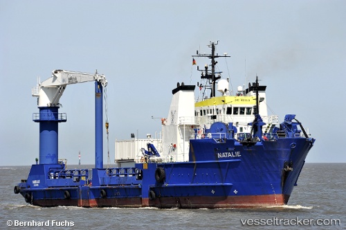
 Natalie
Current Status
Where is the vessel?
Natalie is currently in 14 nm NW of Dos Bocas Terminal, based on AIS data received less than 1h ago.
Latest AIS update:
Current position: 18.63977° N, 93.37335° W (14 nm NW of Dos Bocas Terminal)
Average speed (last 7 days): Loading…
Average speed (last 30 days): Loading…
Vessel profile: Natalie is a Offshore Tug Supply Ship with dimensions 67m x 17m.
This page combines live AIS, route history, probable destination signals, nearby traffic, and port activity for practical vessel monitoring.
The current position of vessel Natalie is 18.63977 lat / -93.37335 lng. Updated: 2026-04-03 01:28:42 UTCNearest reference points:
- 35 nm S of Yùum K'Ak'Náab
- Near Coatzacoalcos
- 18 nm S of Yùum K'Ak'Náab
Currently sailing under the flag of Mexico ![]()
Natalie built in 1982 year
Deadweight:
2920 tDetails:
Live Vessel Natalie Analytics (details, animations, etc.)
Recent AIS points (UTC):
2026-04-02 20:13:14 UTC · 18.63203, -93.37845 · SOG 1.5 kn · COG 140°2026-04-02 21:42:35 UTC · 18.61737, -93.34930 · SOG 1.8 kn · COG 80°
2026-04-03 00:12:24 UTC · 18.63995, -93.37337 · SOG 0.2 kn · COG 102°
2026-04-03 01:28:42 UTC · 18.63977, -93.37335 · SOG 0.1 kn · COG 49°