 vesseltracker.com
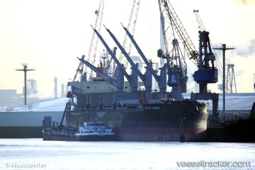
Matsu Arrow
Current StatusWhere is the vessel?
Matsu Arrow is currently in 75 nm N of Ben Slimane, based on AIS data received less than 1h ago.
Latest AIS update:
Current position: 34.83167° N, 71.39333° W (75 nm N of Ben Slimane)
Average speed (last 7 days): Loading…
Average speed (last 30 days): Loading…
Vessel profile: Matsu Arrow is a General Cargo Ship with dimensions 32m x 190m.
This page combines live AIS, route history, probable destination signals, nearby traffic, and port activity for practical vessel monitoring.
The current position of vessel Matsu Arrow is 34.83167 lat / -71.39333 lng. Updated: 2026-04-18 23:41:23 UTCNearest reference points:
- 91 nm E of Rodanthe
Details:
Live Vessel Matsu Arrow Analytics (details, animations, etc.)
Recent AIS points (UTC):
2026-04-18 17:59:16 UTC · 33.77729, -71.56660 · SOG 11.2 kn · COG 9°2026-04-18 19:56:23 UTC · 34.13667, -71.50667 · SOG 11 kn · COG -1°
2026-04-18 21:32:24 UTC · 34.43500, -71.46667 · SOG 11 kn · COG -1°
2026-04-18 23:41:23 UTC · 34.83167, -71.39333 · SOG 10 kn · COG -1°