 vesseltracker.com
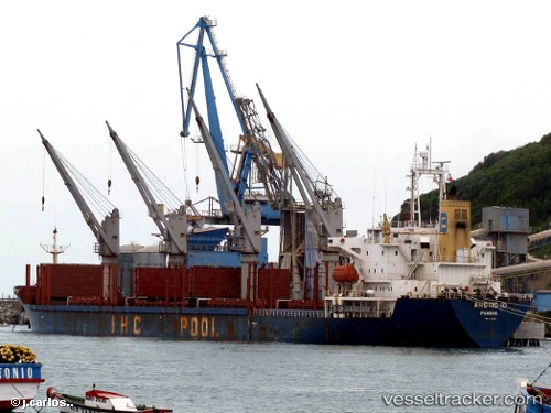
 MICROSTEP
Current Status
Where is the vessel?
MICROSTEP is currently in Near Lambom Island, based on AIS data received about 2h ago.
Latest AIS update:
Current position: 4.78623° S, 152.93829° E (Near Lambom Island)
Average speed (last 7 days): Loading…
Average speed (last 30 days): Loading…
Vessel profile: MICROSTEP is a Bulk Carrier with dimensions m x m.
This page combines live AIS, route history, probable destination signals, nearby traffic, and port activity for practical vessel monitoring.
The current position of vessel MICROSTEP is -4.78623 lat / 152.93829 lng. Updated: 2026-04-09 22:07:18 UTCNearest reference points:
- 15 nm SW of Lambom Island
- Near Rabaul
Currently sailing under the flag of Panama ![]()
MICROSTEP built in 1996 year
Deadweight:
28251 tDetails:
Live Vessel MICROSTEP Analytics (details, animations, etc.)
Recent AIS points (UTC):
2026-04-09 14:49:11 UTC · -4.78572, 152.93858 · SOG 0.3 kn · COG 283°2026-04-09 19:28:17 UTC · -4.78563, 152.93854 · SOG 0.1 kn · COG 268°
2026-04-09 20:46:14 UTC · -4.78455, 152.93861 · SOG 0.2 kn · COG 256°
2026-04-09 22:07:18 UTC · -4.78623, 152.93829 · SOG 0.7 kn · COG 286°