 vesseltracker.com
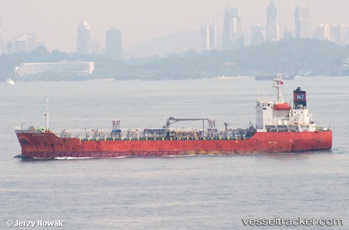
 ULTRA ENERGY
Current Status
Where is the vessel?
ULTRA ENERGY is currently in 205 nm N of Fera Island, based on AIS data received about 1h ago.
Latest AIS update:
Current position: 4.90486° S, 160.79546° E (205 nm N of Fera Island)
Average speed (last 7 days): Loading…
Average speed (last 30 days): Loading…
Vessel profile: ULTRA ENERGY is a Oil Products Tanker with dimensions 20m x 108m.
This page combines live AIS, route history, probable destination signals, nearby traffic, and port activity for practical vessel monitoring.
The current position of vessel ULTRA ENERGY is -4.90486 lat / 160.79546 lng. Updated: 2026-04-19 07:22:08 UTCCurrently sailing under the flag of Panama ![]()
ULTRA ENERGY built in 1999 year
Deadweight:
6688 tDetails:
Live Vessel ULTRA ENERGY Analytics (details, animations, etc.)
Recent AIS points (UTC):
2026-04-19 01:28:30 UTC · -3.85567, 160.89828 · SOG 10.9 kn · COG 187°2026-04-19 03:28:15 UTC · -4.21210, 160.86050 · SOG 10.8 kn · COG 182°
2026-04-19 05:43:43 UTC · -4.61214, 160.82126 · SOG 10.4 kn · COG 186°
2026-04-19 07:22:08 UTC · -4.90486, 160.79546 · SOG 10.7 kn · COG 185°